As a GIS educator, I often get asked this question. I compile my advise for budding GIS analysts into this... View Article
Latest Posts
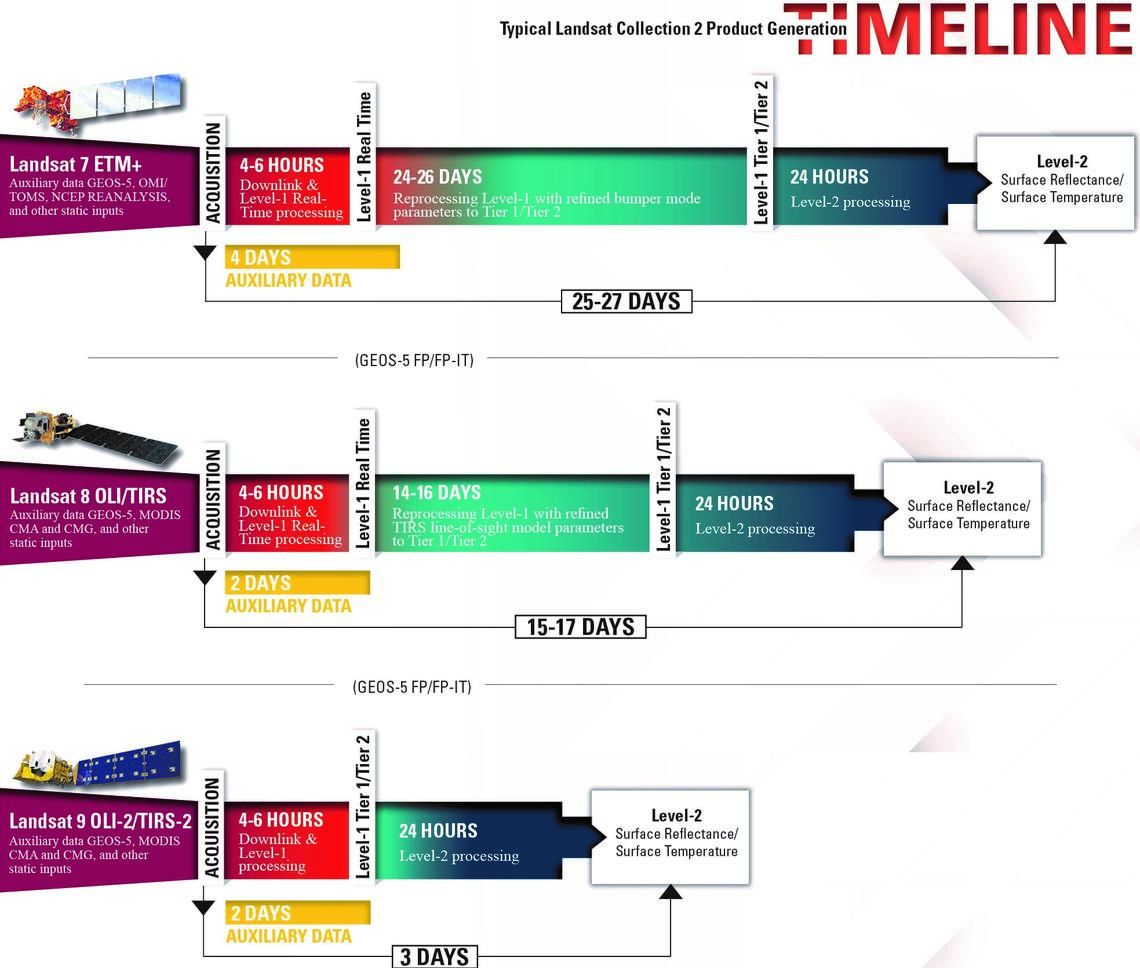
Collections? Levels? Tiers? Landsat’s data processing classification is confusing to say the least and will trip up the unwary. With... View Article
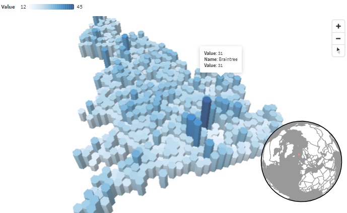
There are now many brilliant Javascript-based tools for interactively displaying data. One which had recently caught my eye recently was... View Article
Want to know how to download weather station data from (almost) anywhere in the world? Providing there’s a nearby weather... View Article
OpenStreetMaps is a collaborative mapping project which has been revolutionary as a global participatory exercise. Here’s 3 easy ways to... View Article
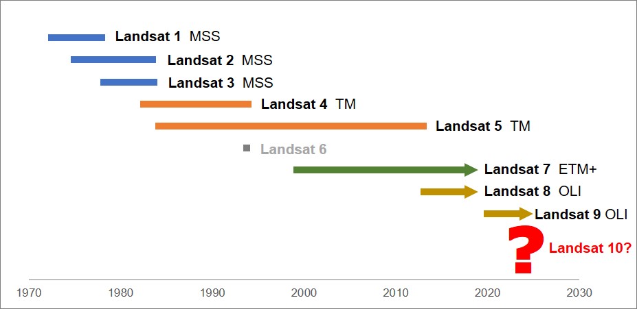
The USGS recently surveyed Landsat users for opinions and data requirements for post-Landsat 9 missions, providing crucial insight into the... View Article
Inspired by Dr Thomas Smith (LSE) who has engaged students to design environmental data dashboards, Kris decided it was time... View Article
I often get asked what’s the best FREE! Digital Elevation Model (DEM) to use and how to access it. Here’s... View Article
It’s that time of year again when Masters’ and Undergraduate students must make their decision of what to research for... View Article


